Geography and Map Skills of Wisconsin
Fourth grade is the year of studying Wisconsin. We start by learning the following objectives:
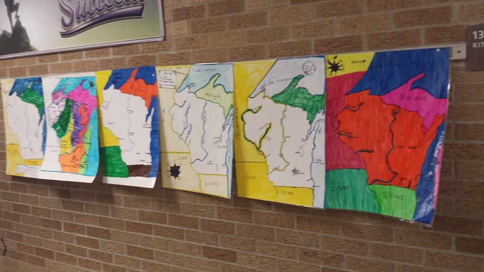
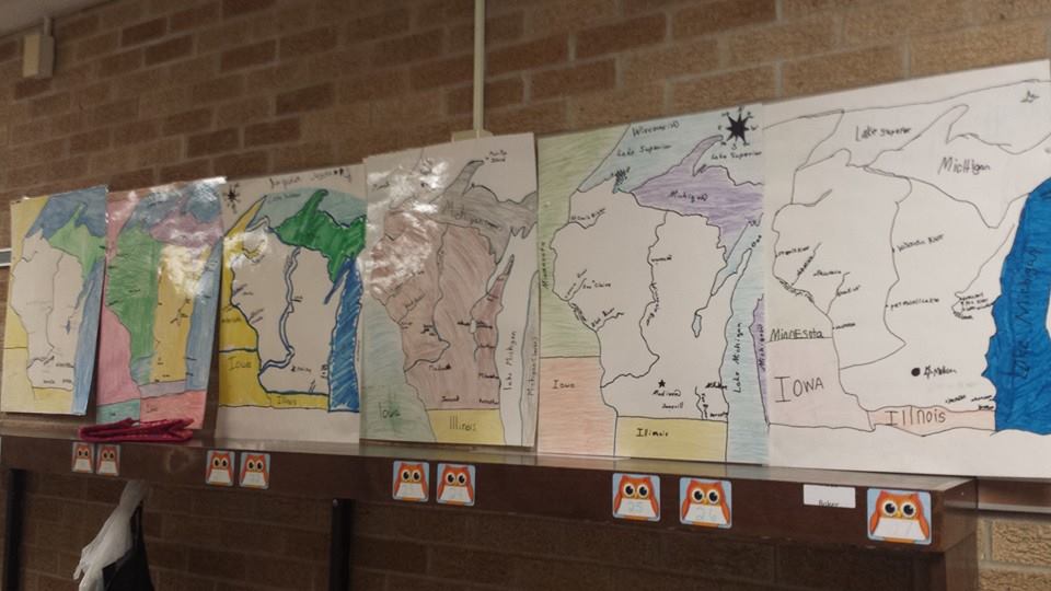
Students will be expected to create a large representation of Wisconsin with major cities, rivers, border states, and bodies of water.
- Place Wisconsin on a map and identify Wisconsin’s neighboring states in the Midwest Region and Ontario, Canada.
- Explain where Wisconsin is located in relation to other states and landforms (rivers, Great Lakes).
- Locate Wisconsin’s major cities, landforms and resources.
- Use all the components of the official Wisconsin state highway map: mileage log, legend, mileage markers, and location markers.
- Demonstrate understanding of map and globe skills: scale, distance, topographic features, latitude, longitude, key, time, and distance.
- Identify Wisconsin’s location in the world following a review of the 7 continents and 4 oceans.
Students will be expected to create a large representation of Wisconsin with major cities, rivers, border states, and bodies of water.